

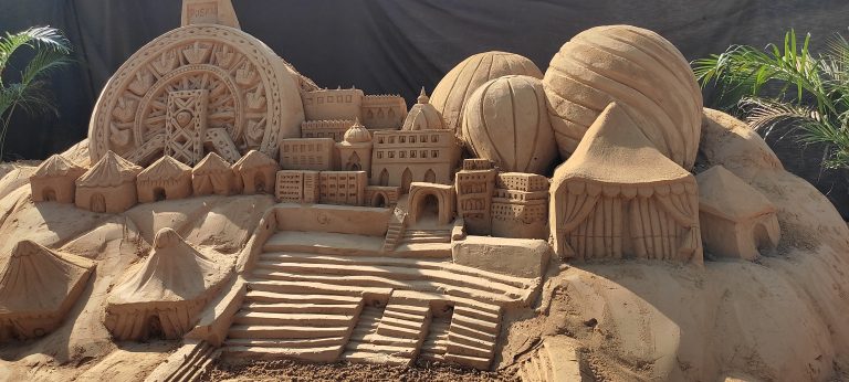
Jaipur is an important city in the western state of Rajasthan, India. Sawai Jai Singh II developed the city as an important centre for trade and commerce. He had a vision of planning the city in Rajasthan’s deserts. He asked Vidyadhar Battacharya, the principal architect of Jaipur, to design a city according to his vision of heaven. This led to Amer’s planning and developing a layout of Jaipur. Though the urban planning of Jaipur is based on the principles of Vastu Shastra with nine square modules and grid planning, the city planning of Jaipur was very different from ancient cities.

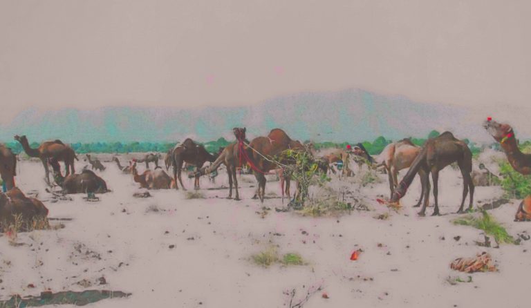
Since Jaipur was planned as a trade and commerce centre, its defence system was toned down compared to other traditional Rajasthani cities. Another essential element that played a vital role in city planning was the water movement in Rajasthan’s geographic conditions. Water is a crucial need to be considered when planning in the dry climatic conditions of Rajasthan. The considerations of water catchment areas and how water can be conserved and distributed have a significant impact on city planning.
Not only is the planning and design of the city very much influenced by the fluid nature of water, but it is also an essential cultural element in India. Water is critical in defining the region’s cultural fabric through rituals and practices associated with it in India. In this way, water symbolises man’s connection with the universe.
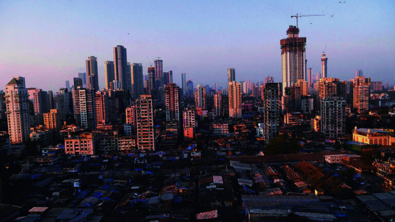
One often sees that the development of traditional Indian settlements belonged to nature. The development of lakes, rivers, canals and natural drainage system that runs through ridges and mountains was a part of urban development. Due to these considerations, Jaipur’s city is planned differently than other Rajasthani cities. While most Rajasthani cities are built upwards on a rock/ hill/ mountainous range, Jaipur is built in a valley.

The city’s location and layout largely depended on the topographic configurations, such as natural depressions where water can be collected. The hills around Amer naturally formed catchment basins with runoff channels which were artificially carved and landscaped over the years. This led to the development of Amer on a flat bed of lake between the Amanisha and Dhund rivers.
Water conservation for everyday use in Amer was done through artificial monsoon lakes: Sagar Talao on the east and Moatha Lake at the front of Amer Fort. Other than artificial lakes, one also sees the development of stepwells, often called vav, baori, kund, baoli, etc., in the local language. For example, the Nahargarh Bawadi could store an immense amount of water and was meant to store water to use in case of a long siege. Other such spaces are Panna Meena ka Kund and Tattar ki Bawadi.

These water spaces were a combination of social, religious, political and functional spaces. They were the communal centres of the city. As a part of fetching water for daily use, these spaces became meeting areas for people. Multiple interactions were formed amongst people and communities through them. Most of these spaces also had an important religious or political centre near them, like a temple, fort or palace. One would also see a pooja or folk music and dance performed near these spaces. It is through these spaces that water became more than an element of survival in Jaipur.
Amazing 😍💯
Thanks!
Amazingly written…..You have superbly written the article….Waiting for more to come….
Thank you!
Nice blog loved it❤️
Thank you Sagar!